Up HomePage » NB-Gaspe Prev Next Slideshow

 Previous image  Next image  Index page
20100721_105852 Nikon D3
20100721_105927 Nikon D3
20100721_110027 Nikon D3
20100721_110316 Nikon D3 (1)And4more_tonemapped
20100721_110403 Nikon D3 (1)_ (2)_ (3)_ (4)__tonemapped
  20100721_113352 Nikon D3.jpg - Gaspe National Park, QC. Mount Jacques Cartier in the park is the second highest peak in Quebec. This road runs about 60 miles from the St Lawrence River on the north to the Restigouche River on the south  
20100721_123237 Nikon D3 (1)_ (2)_ (3)_ (4)__tonemapped
20100721_143652 Nikon D300
20100721_143700 Nikon D300
20100721_143734 Nikon D300
20100721_151355 Nikon D300

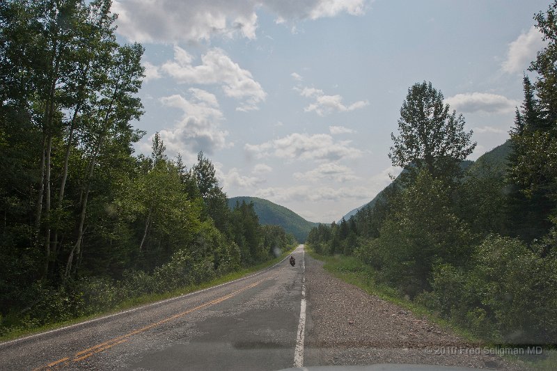
98 | Gaspe National Park, QC. Mount Jacques Cartier in the park is the second highest peak in Quebec. This road runs about 60 miles from the St Lawrence River on the north to the Restigouche River on the south
Photographer: FRED SELIGMAN MD | Camera: NIKON D3 | Date: 7/21/10 11:33 AM | ISO: 200 | Exp. Time: 1/500s | Aperture: 11.0 | Focal Length: 24.0mm (~24.0mm) | Flash: No | Latitude: N 48°54'44.11" | Longitude: W 66°6'2.67" | Altitude: 283 metres | GPS time: 16:33:1 UTC | Copyright: © 2010 Fred Seligman MD | See map
Total images: 146 | Last update: 8/2/10 10:58 PM | HomePage | Fred Seligman's website | Help